Yuen Long Guide editors
The Yuen Long Guide editorial team maintains this independent reference against named primary sources.
Editorial standards
- No paid placements. We do not accept payment for a placement, a ranking or a favourable review. Where a link earns a commission, the page carrying it says so.
- No untested claims. We do not say we have tried something we have not. Prices and plan details supplied by a provider are labelled as indicative rather than presented as our own findings.
- No page for the sake of a keyword. A destination gets a page when there is something specific to say about it. That is why the site is small.
- Corrections are made in public. A factual fix is applied to the page and the update date changes with it.
31 pages by Yuen Long Guide editors
-
 How the Yuen Long Light Rail Zonal Fare System Works
The Light Rail uses a zonal fare system with tap-on and tap-out validators, but exit readers at quieter stops are often out of service, creating fare uncertainty for first-time riders.
-
 How KMB Buses and Green Minibuses Serve Yuen Long District
KMB trunk buses, MTR feeder routes, and green minibuses each serve a distinct role in Yuen Long, with minibuses providing the last-mile connection into villages where full-size buses cannot go.
-
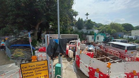 Reaching Yuen Long Villages Without a Car Using Minibuses and Walking
Plan rural Yuen Long trips by identifying the nearest green minibus terminus, checking the Sunday headway gap, and having a taxi fallback for locked village gates.
-
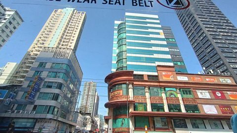 Yuen Long Places and Neighbourhoods: From Market Towns to Mudflats
Locate every Yuen Long neighbourhood by its everyday function and visitor access status, from the market-town core to the permit-only wetland core zone.
-
 Getting Around Yuen Long: Light Rail Logic, MTR Exits and Bus Realities
Navigate Yuen Long by understanding Light Rail zonal logic, MTR exit letters, and why the Sunday bus headway on Castle Peak Road can double the timetable figure.
-
 What Is Yuen Long Known For Beyond the Day-Trip Brochure Clichés
Yuen Long is a working landscape of walled villages, active aquaculture, and new-town density, not a curated countryside museum or a day-trip checklist.
-
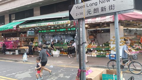 Yuen Long vs Tin Shui Wai: Organic Market Core Meets Planned Podium Town
Yuen Long town grew from a pre-war market grid; Tin Shui Wai is a planned podium-level new town on reclaimed fish ponds. The difference shapes everything.
-
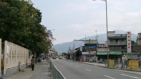 Kam Tin Guide: Walled Villages, Vegetable Fields and the Kat Hing Wai Gate
Kat Hing Wai's iron gate is open with a donation box, but most Kam Tin villages are locked. Know which gates you can actually walk through.
-
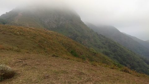 Ping Shan Guide: The Tang Clan Heritage Trail and Its Real-World Gaps
The official leaflet says 1.6 km and one hour. The real Ping Shan Heritage Trail walk, with detours, is closer to 3 km and 2.5 hours—and some stops may be closed.
-
 Lau Fau Shan Guide: Oyster Shore Reality, Not a Seafood Destination Row
Lau Fau Shan is a working oyster-farming shore with sun-dried stalls and a concrete promenade, not a Sai Kung-style seafood row. Expect oyster shells, not tablecloths.
-
 Getting to Yuen Long From Central, Kowloon, and the Border
The Tuen Ma Line is the fastest rail link to Yuen Long from Kowloon, while express buses 268X and 968 offer direct alternatives through the Tai Lam Tunnel.
-
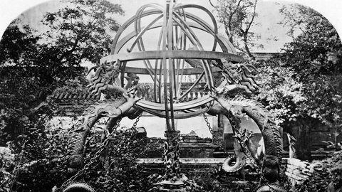 Cycling the Kam Tin River and Yuen Long Creek Cycle Tracks
The Kam Tin River north embankment and Yuen Long Creek connector form a concrete cycle-track spine, but the network breaks at private fish-pond bunds where cycling is trespass.
-
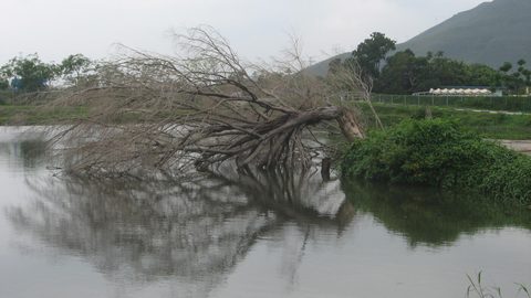 Yuen Long Fishponds: How Aquaculture Sustains the Wetland Ecosystem
The Yuen Long fishponds are a working aquaculture landscape that doubles as critical feeding habitat for migratory shorebirds within the Inner Deep Bay Ramsar site.
-
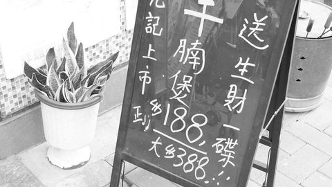 Yuen Long Birdwatching: Where to Go and How to Observe Ethically
Yuen Long birdwatching spans permit-only Mai Po hides, open Nam Sang Wai bunds, and the tide-dependent Ha Pak Nai mudflat. Each site has distinct access rules and ethical requirements.
-
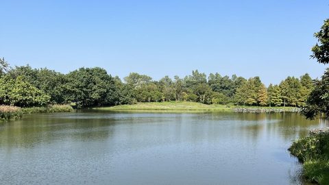 Yuen Long Wetlands and Countryside by Activity and Access Status
Choose a Yuen Long nature site by activity: Mai Po for permit-only hide birding, Nam Sang Wai for open-access bund walking, and Ha Pak Nai for tide-dependent mudflat visits.
-
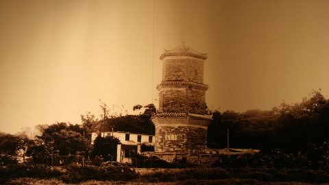 Yuen Long History and Community: Lineage, Market Town and New Town
The layered history of Yuen Long district, from Tang Clan lineage villages and market-town origins to the planned new town of Tin Shui Wai.
-
 What Makes the Mai Po Nature Reserve a Ramsar Wetland of Global Importance
Mai Po is a Ramsar-listed gei wai shrimp-pond reserve requiring a WWF permit, though birders routinely scope the ponds from the public Tam Kon Chau Road outside the fence.
-
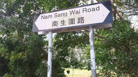 Visiting Nam Sang Wai the Private Fish-Pond Mosaic and Poplar Strip
Nam Sang Wai is an open-access fish-pond mosaic walked via bund-top paths, but the sampan ferry runs at the boatman's discretion and the western bund turns to mud after rain.
-
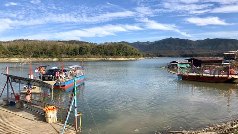 Ha Pak Nai Guide: Tides, Access, and Sunset Mudflat Rules
Ha Pak Nai is a publicly accessible Deep Bay mudflat, but access depends entirely on the tide. Check the Hong Kong Observatory table and expect the clear sunset window to be limited by haze.
-
 Yuen Long Food Specialties: The Enduring Dishes and Their Context
Yuen Long's enduring food specialties are Lau Fau Shan sun-dried oysters, poon choi from Tang clan banquet tradition, wife cake pastries, and Kam Tin valley vegetables.
-
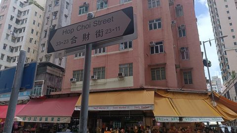 Yuen Long Markets: Wet-Market Etiquette, Timing, and Food Safety
Explore Yuen Long's wet markets by understanding morning timing, cash-only etiquette, and the geography of the old market street grid versus the air-conditioned municipal market.
-
 How to Plan a Yuen Long Food Walk Through the Old Market Streets
A self-guided framework for eating through Yuen Long's old market streets, built on dish vocabulary and market geography rather than restaurant rankings.
-
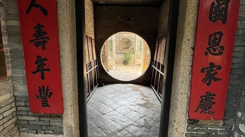 What Is the Ping Shan Heritage Trail and What Can You Actually Visit
The Ping Shan Heritage Trail's actual walking route, building entry status, and the access restrictions that break the official 1.6 km itinerary.
-
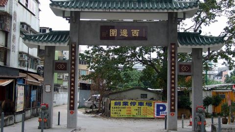 What Are Yuen Long's Walled Villages and Which Can You Enter
Which Yuen Long walled villages a visitor can enter, the real condition inside Kat Hing Wai, and how to tell an old gate from a modern arch.
-
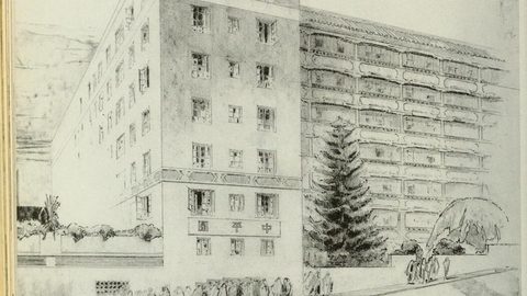 How Yuen Long Developed From Market Town to New Town District
How Yuen Long developed from a rural market town through railway expansion and fish-pond reclamation to the new town district of today.
-
 What Are the New Territories Clans and Lineages of Yuen Long
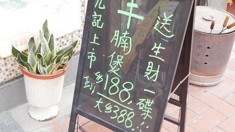
The Tang Clan lineage branches of Ping Shan and Kam Tin, how they structure Yuen Long's heritage geography, and why clan affiliation affects village access.
-
 How Has Tin Shui Wai Changed From Fish Ponds to Planned New Town
How Tin Shui Wai developed from reclaimed fish ponds into a high-density planned new town with a podium-level centre and no street-level market core.
-
 Yuen Long Food and Markets: What to Eat and How to Navigate the Scene
Yuen Long food spans wet-market street grids, Lau Fau Shan oyster stalls, village banquet poon choi, and the enduring wife cake pastry tradition. This hub routes you by what you want to eat.
-
 Poon Choi Explained: The Yuen Long Village Banquet Dish and Its Modern Form
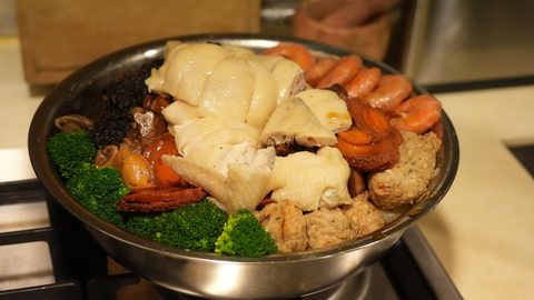
Poon choi is a layered village banquet dish from Yuen Long's Tang clan tradition, served at ancestral hall gatherings and now available through advance-order catering.
-
 Wife Cake Yuen Long: The Pastry, the Origin Story, and Its Limits
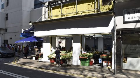
Wife cake is a flaky winter melon paste pastry linked to Yuen Long through a durable origin story, though multiple Cantonese towns claim its invention.
-
 Yuen Long Guide: Wetlands, Walled Villages and New Towns Explained
A resident-minded guide to the 138 km² Yuen Long district, spanning walled villages, wetland permits, new-town logic, and the Tang clan geography that structures it all.